Datasheets
Crush Damage Profile 1 (PDF – 1.37MB)
Crush Damage Profile 2 (PDF – 975KB)
Ground Evidence (PDF – 1.20MB)
People v William CADY (PDF – 5.79MB)
3D Laser Mapping Crash Investigations Help Reduce Traffic Congestion (PDF – 5KB)
Landscape Study on 3D Crime Scene Scanning Devices (PDF – 1.282KB)
Metropolitan Police Invests in Laser Scanning Technology to Reduce Congestion (PDF – 53KB)
Police Forces Given 2.7 Million to Spend on 3D Scanning Technology (PDF – 145KB)
Procurement of Laser Scanning Devices for the Four Welsh Police Authorities (PDF – 30KB)
UK Road Police Get 3D Laser Scanners to Survey Crash Sites in Minutes (PDF – 101KB)
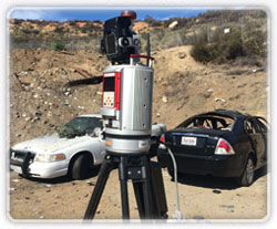
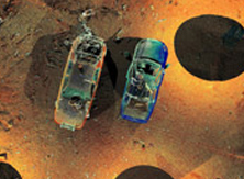
This streamlined process is the fastest solution to acquire, register, and colorize outdoor 3D Crash Scene Investigation scan data.
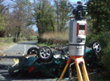
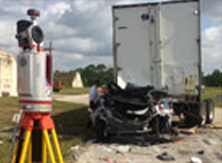
After serious road traffic collisions, it is standard practice to accurately document forensic evidence in an objective and timely manner. This evidence recovery process can be stressful and time-consuming, especially in conditions where hundreds or thousands of vehicles are lined up and waiting.
The software is designed to utilize all of the measurement inputs from the RIEGL VZ-400 to enable a fully automatic workflow. Utilizing technological know-how and real-world feedback from investigation officers and field experts, RIEGL has produced a one button solution for data processing. RiSOLVE accurately and automatically combines, adjusts, and colorizes the data collected in the field. The final results are a detailed point cloud and easy to use plot features which enable production of accurately scaled orthographic images exportable as measurable PDFs, TIFFs, JPGs and bitmaps. The Output of RiSOLVE is a photorealistic 3D scan.
RIEGL USA Forensic Booklet (PDF – 9.82MB)


